Ocean Passage Route Planning for 2026: Windows, Currents and Waypoints
Ocean passages in 2026 will reward sailors who treat route planning as both art and science. With climate patterns shifting slightly but traditional trade winds still dominating, the difference between a fast, safe crossing and a miserable one often comes down to choosing the right departure window and understanding how currents can gift you extra miles each day.
Seasonal weather windows remain the foundation. In the Atlantic, the sweet spot for east-to-west tradewind crossings from the Canaries to the Caribbean still falls between late November and mid-February. Pacific crossings from Mexico to the Marquesas favour departures from late March through early June, while Indian Ocean routes demand careful attention to the southwest monsoon that typically establishes in June and retreats by October.
Reading Currents for Free Speed
Currents can add or subtract an entire knot from your daily average. The North Equatorial Current in the Atlantic often gives passagemakers an extra half-knot push, while the Agulhas Current off South Africa can either help or create dangerous sea states depending on wind direction. Modern GRIB viewers now overlay surface current data alongside wind forecasts, allowing sailors to adjust routes to stay in favourable flow. In the Pacific, the Equatorial Counter Current between 4°N and 10°N can provide a welcome boost on the way to Hawaii if you time your latitude correctly.
Modern Weather Routing Tools
Gone are the days of relying solely on pilot charts. Routing software such as Expedition, LuckGrib, or even the free OpenCPN plugins can ingest the latest GRIB files from NOAA, ECMWF, and GFS models. These tools calculate optimal routes considering wind angles, boat polar diagrams, and sea state. For a typical 40-foot cruising catamaran, the software might suggest leaving a few degrees south of the classic rhumb line to avoid light patches near the ITCZ. Sailors should download new GRIBs every 12 hours once at sea and adjust accordingly.
Waypoints still matter, but their purpose has evolved. Rather than rigid turning marks, think of them as strategic gates. A typical Atlantic crossing might include waypoints at the Cape Verdes (to decide whether to stop), near 15°N 45°W (to monitor the ITCZ), and finally at the entrance to the Caribbean island chain. Great-circle routes save distance on longer legs but often require more sail changes in variable winds. Rhumb-line sailing proves simpler for crew on watch and works well when following steady trade winds.
Bail-out Options and Float Plans
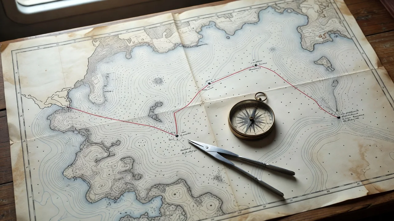
Every well-planned passage includes realistic emergency harbours. For an Atlantic crossing, the Azores, Cape Verdes, and Bermuda serve as sensible bolt-holes. Pacific sailors should note options at the Galapagos, French Polynesia atolls with good passes, and Hawaii. Mark these on your chart with notes about approach hazards, best anchorages, and medical facilities.
Before leaving, prepare a detailed float plan. Share it with a trusted contact ashore who understands sailing. The plan should include:
- Departure date and expected arrival window
- Daily position reporting schedule and satellite contact details
- Route waypoints with lat/long
- Vessel description, crew list, and emergency contacts
- Actions to take if no contact is received within 48 hours
| Route | Best Window 2026 | Typical Duration | Key Current |
|---|---|---|---|
| Canaries to Caribbean | Dec–Feb | 18–25 days | North Equatorial (+0.5kt) |
| Mexico to Marquesas | Mar–May | 18–22 days | North Equatorial Counter |
| Panama to Galapagos | Feb–Apr | 7–9 days | Panama Current (southward) |
| Durban to Fremantle | Oct–Nov | 35–45 days | Agulhas (careful timing) |
Technology has made ocean navigation safer, but the sea still demands respect. Download your pilot charts for the specific ocean and month, study them alongside long-range forecasts, and remain flexible. The best passagemakers treat their float plan as a living document, updating friends ashore when routes change. In 2026, those who combine traditional knowledge with modern routing tools will enjoy the fastest, safest crossings of their sailing lives.